Introduction to Xiangxi UNESCO Global Geopark
Xiangxi UNESCO Global Geopark (N28°06′49.23″—29°17′24.26″ and E109°20′13.66″—110°04′12.55″) is located in Xiangxi Tujia and Miao Autonomous Prefecture in Hunan Province, China, covering a total area of 2,710km2.
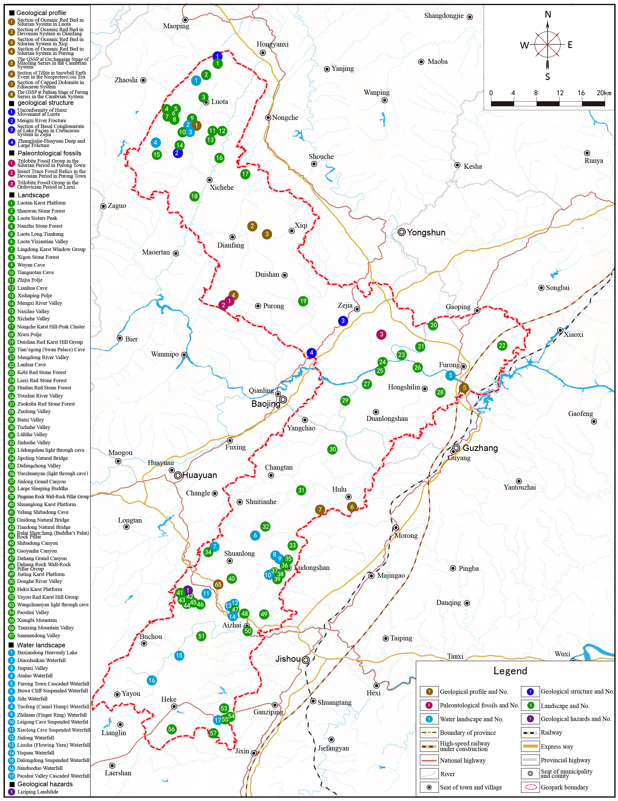
The geopark lies on the marginal slope in the east of Yunnan-Guizhou Karst Plateau. It is noted for the two GSSPs in the Cambrian system- the GSSP for Guzhangian Stage and the GSSP for Paibian Stage. The geopark also features some geosites, including the world's largest red carbonate rock Stone Forest and spectacular plateau incised platform-canyon group. These geosites are complemented by many other typical geological phenomena, such as typical geological tectonic events, the paleoglacier climate events and paleontological relics, which completely record the evolutionary history of the Yangtze Platform and the incision, fragmentation and disintegration process at the edge of the Yunnan-Guizhou Plateau. The geopark's traditional ethnic minority culture perfectly combines with the natural ecology of platform-canyon to form a beautiful and harmonious living environment. The geopark has created a mysterious and unique ethnic cultural ecosystem in the Wuling mountainous area, which has attracted tourists from all over the world.
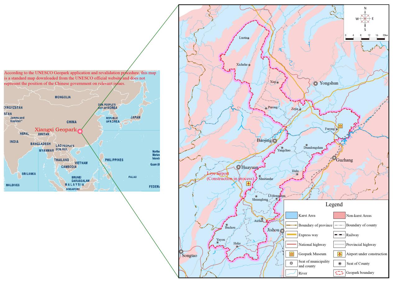
The location of Xiangxi UNESCO Global Geopark
QR Code